
Digital Soil Mapping – Precision Soil Nutrient Management
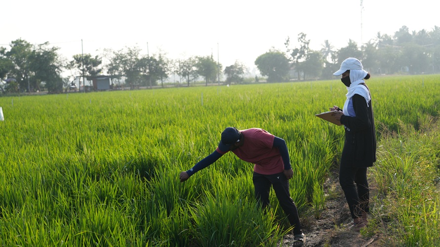
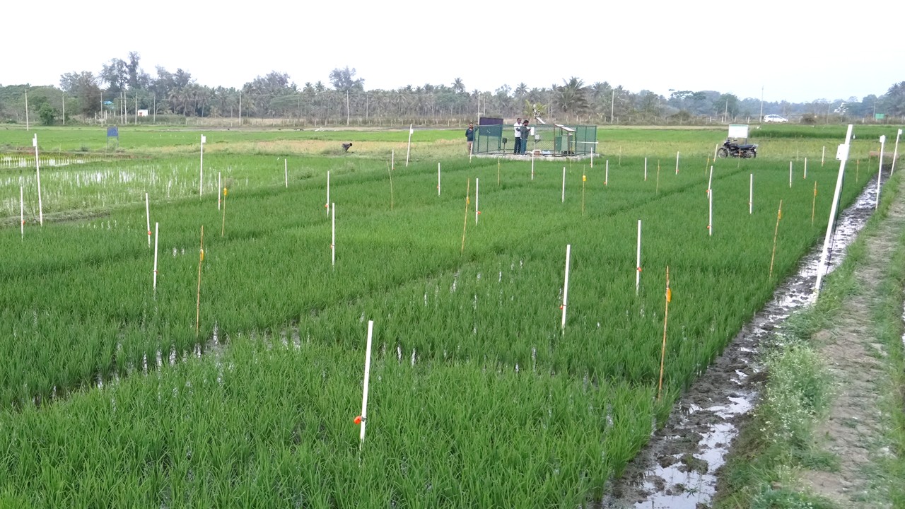
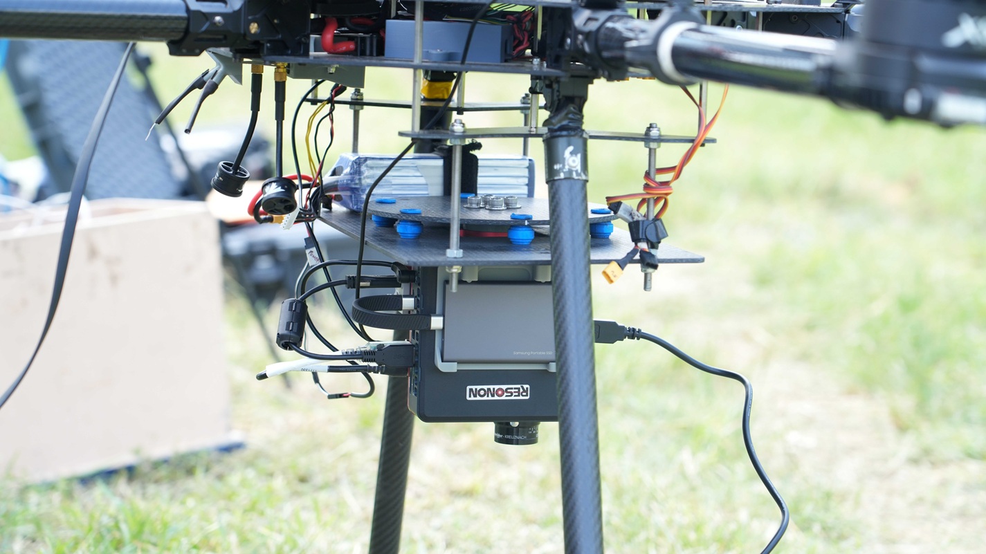
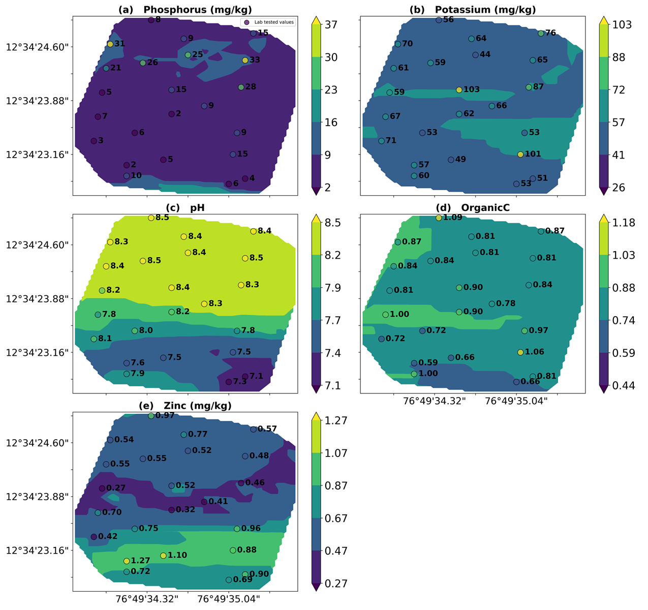
Generates high-resolution georeferenced spatial maps of soil properties and nutrient variability using proximal sensing technologies. ML algorithms are used for improving the accuracy of sensing. Supports site-specific nutrient management and precision fertilizer recommendations for stakeholders.
Digital Soil Compaction – For Tillage interventions
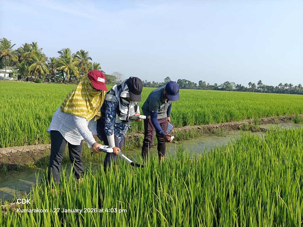
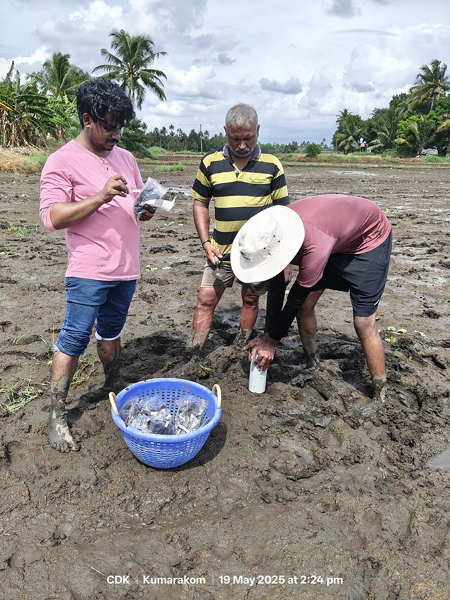
Measures soil strength and subsurface compaction at different depths using a soil compaction meter. Geotagged cone index measurements generate spatial maps of soil compaction variability across the field. The information helps to identify hardpans and optimize tillage or subsoiling depth.
High Resolution Soil Nutrient Map
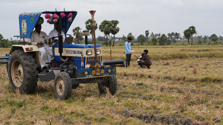
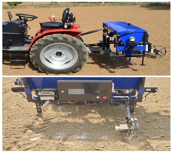
Ground Based Fertilizer Applicator Prototype test trials
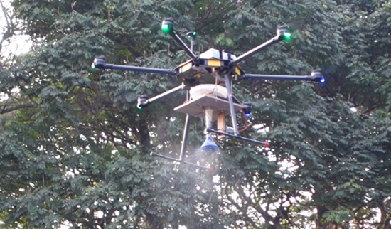
Variable rate fertilizer applicator
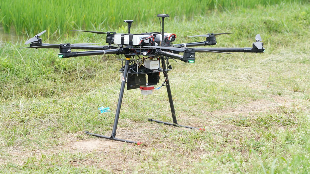
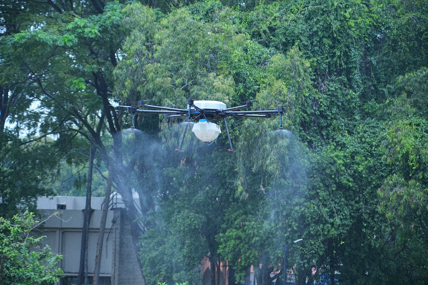
Enables field-specific fertilizer application based on georeferenced digital soil nutrient maps. Optimizes fertilizer use by applying the precise quantity at the right location. Deploys both drone-based and ground-based applicators.